

Destination guide · Indonesia
Tauchen auf der Insel Morotai
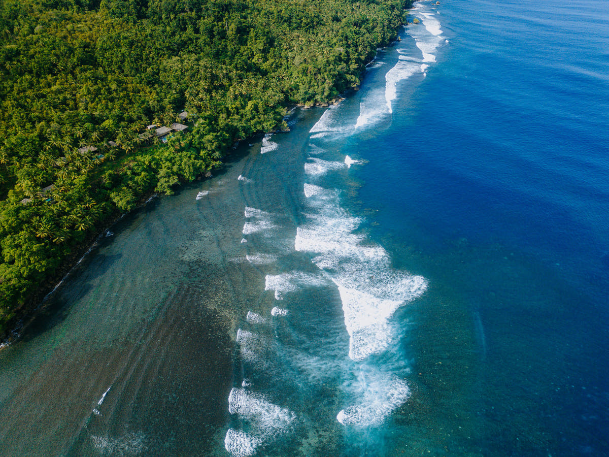
Morotai brings reef diving and wartime history together on a remote North Maluku island. Sharks, submerged structures and coral scenery share the trip with empty-looking coastlines, green inland landscapes and island-hopping days.
Die Insel Morotai im Überblick
Morotai vereint Riff-Tauchen und die Geschichte der Kriegszeit auf einer abgelegenen Insel in Nord-Molukken. Haie, versunkene Strukturen und Korallenlandschaften prägen die Reise ebenso wie menschenleere Küstenlinien, grüne Landschaften im Landesinneren und Inselhopping-Tage.
Planung Ihres Aufenthalts auf der Insel Morotai
Wählen Sie einen Standort, der Riff- und Wracktauchen mit Ausflügen an Land gut miteinander verbinden lässt. Sechs bis acht Nächte sind für ein abgelegenes Reiseziel ein guter Ausgangspunkt und bieten sowohl Puffer für die Anreise als auch Tage, an denen das Meer über die Reihenfolge der Aktivitäten entscheidet.

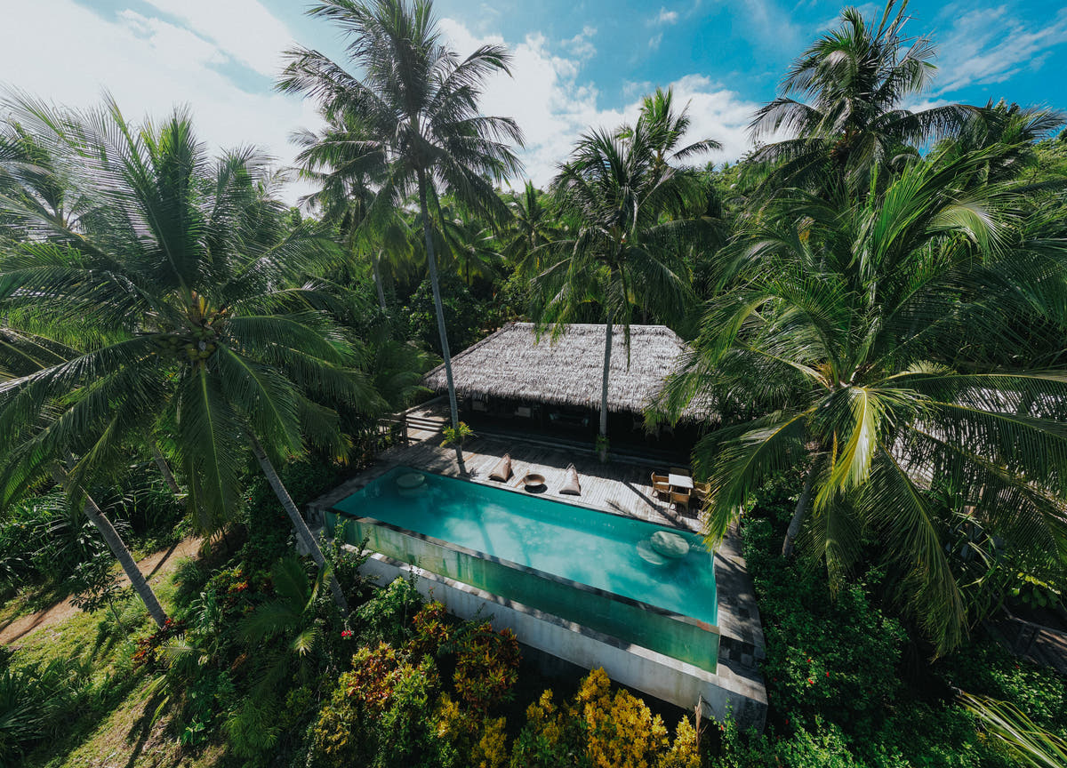
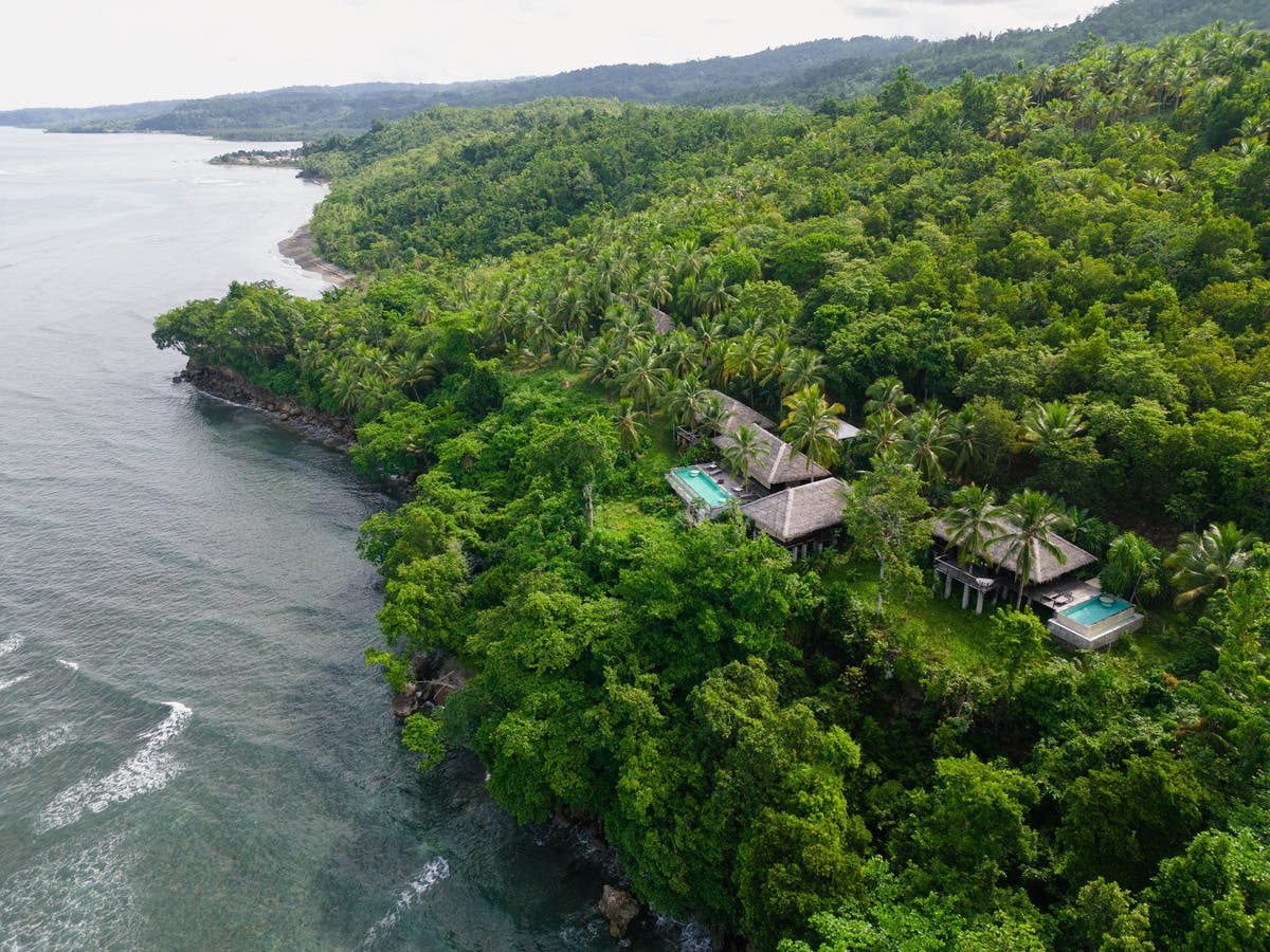
Moro Ma Doto Resort & Spa
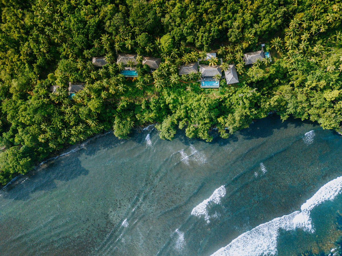
Boutique-Inselresort mit Vollpension auf dem abgelegenen Morotai, das private Villen und Suiten mit wenig besuchten Riffen, Unterwassergeschichte aus dem Zweiten Weltkrieg, Surfen, Angeln, Inselerkundungen und dem Jungle R...
Wann sollte man auf der Insel Morotai tauchen?
Das Tauchen ist das ganze Jahr über möglich. Von Mai bis Oktober gilt die bisherige Planung für die ruhigere Jahreszeit, während Juli bis September geeignet ist, wenn der Zugang zu Wracks im Vordergrund steht. Abgelegene Verbindungen und exponierte Tauchplätze machen Flexibilität besonders wertvoll.
Planungszeitraum: Oft ruhiger von Mai bis Oktober.
Was Sie beim Tauchen erwartet
Wählen Sie die Inseln und Tauchplätze entsprechend der Erfahrung der Gruppe.
Der Charakter des Tauchens
Morotai vereint Riff-Tauchen und die Geschichte der Kriegszeit auf einer abgelegenen Insel in Nord-Molukken. Haie, versunkene Strukturen und Korallenlandschaften prägen die Reise ebenso wie menschenleere Küstenlinien, grüne Landschaften im Landesinneren und Inselhopping-Tage.
DIVE SITE GUIDE
Dive sites in Morotai Island
Explore the character of individual sites, from the setting and marine life to the diving conditions. Open a card for the full description; site access and the final profile depend on conditions and experience.
ORIENTATION MAP
Where the dive sites are
Use the map to understand how the key sites are spread around the destination. Pins are for trip-planning orientation only; entry points, moorings and the final dive plan are always confirmed by the local operator on the day.
Coordinates are orientation references, not navigation coordinates. 'verified' means a published site coordinate; 'operator' means a clearly labelled island, locality or dive-area anchor used where the exact mooring/drop is not publicly verified. Entry points, currents and the final dive plan are always confirmed by the local operator on the day.
Shark point · Sandy slope · Reef
Mitita Shark Point
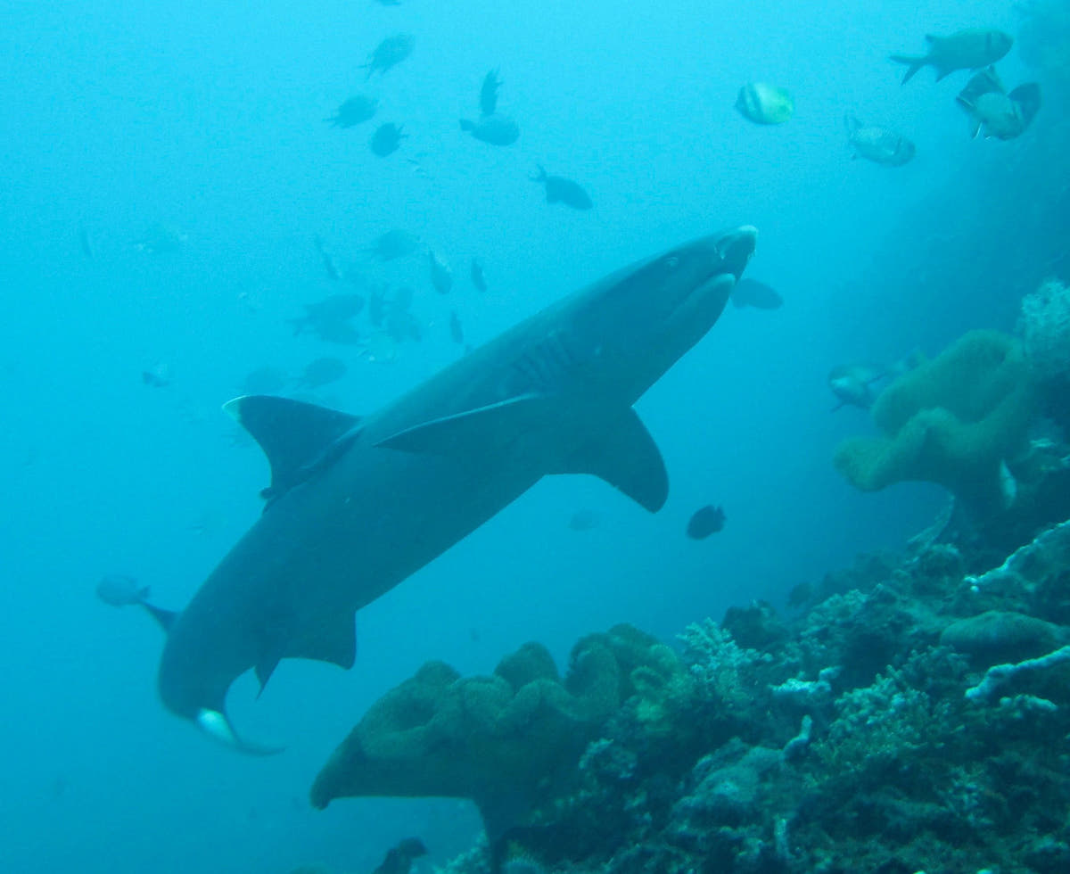
Mitita Shark Point is Morotai’s best-known shark dive, centred on a sandy reef area where blacktip reef sharks regularly move through the water column.
Tauchplatz entdecken
- Typ
- Shark point · Sandy slope · Reef
- Tiefe
- 10–22 m
- Erfahrung
- Intermediate
- Strömung
- Moderate
Mitita Shark Point is Morotai’s best-known shark dive, centred on a sandy reef area where blacktip reef sharks regularly move through the water column. Public reports place the main viewing depth around 17–18 metres, keeping the dive well inside normal recreational limits.
The correct approach is to settle calmly, remain close to the guide and let sharks choose their distance rather than swimming after them. Current can help concentrate activity, so timing matters more than covering ground. The map point uses Metita Island as the local anchor because the exact operational drop changes with conditions.
Look for: Blacktip reef sharks · ~18 m viewing depth · Shark etiquette · Morotai signature
Ideal für: Blacktip reef sharks · Shark observation · Clear water
WWII vehicles & aircraft · Deep heritage site
Wawama Wreck
Wawama is not one single intact ship but an underwater heritage area containing Second World War vehicles and aircraft remains.
Tauchplatz entdecken
- Typ
- WWII vehicles & aircraft · Deep heritage site
- Tiefe
- 12–50 m
- Erfahrung
- Advanced / Deep
- Strömung
- Mild–Moderate
Wawama is not one single intact ship but an underwater heritage area containing Second World War vehicles and aircraft remains. Jeep and vehicle components can be encountered around the mid-twenties, while some aircraft material lies much deeper, into the 40–50 metre range.
That means the guide can select a profile appropriate to certification rather than treating every visit as the same dive. The historical objects should be observed in place and never moved or collected. Because the deeper material pushes beyond ordinary recreational comfort, a conservative plan around the shallower remains is often the better choice.
Look for: WWII vehicles · Aircraft remains · 25 m jeep area · Deep sections to 40–50 m
Ideal für: WWII vehicles · Aircraft remains · Underwater heritage
Scuttled fishing vessel · Artificial reef
Susi Wreck
Susi Wreck is a confiscated fishing vessel deliberately sunk in 2019 and now used as one of Morotai’s more accessible wreck dives.
Tauchplatz entdecken
- Typ
- Scuttled fishing vessel · Artificial reef
- Tiefe
- 18–30 m
- Erfahrung
- Intermediate
- Strömung
- Mild
Susi Wreck is a confiscated fishing vessel deliberately sunk in 2019 and now used as one of Morotai’s more accessible wreck dives. Unlike the deep WWII aircraft, it sits within normal recreational depth, with published visitor reports describing the wreck around the 20–30 metre band.
Grouper, barracuda and smaller reef fish use the structure, while open exterior lines make it possible to enjoy the wreck without penetration. The site works well as a bridge between reef diving and Morotai’s more serious historical wreck profiles. The map uses the southern Morotai dive area as an operator anchor because a reliable public wreck GPS is not available.
Look for: Scuttled in 2019 · Recreational-depth wreck · Grouper & barracuda · Exterior exploration
Ideal für: Accessible wreck · Grouper · Barracuda · Photography
Cave entrance · Wall · Reef
Galo Galo Cave
Galo Galo Cave adds a topographic dive to a Morotai itinerary otherwise dominated by reefs, sharks and wartime history.
Tauchplatz entdecken
- Typ
- Cave entrance · Wall · Reef
- Tiefe
- 6–30 m
- Erfahrung
- Intermediate–Advanced
- Strömung
- Mild–Moderate
Galo Galo Cave adds a topographic dive to a Morotai itinerary otherwise dominated by reefs, sharks and wartime history. Local dive programmes specifically include the site, and regional descriptions note a shallow cave feature that leads out toward deeper wall terrain.
Divers should keep the distinction between an open cavern and a true overhead environment clear: nobody needs to penetrate beyond training to enjoy the site. The outside reef remains productive and may bring larger passing animals. The map point is anchored to Galo-Galo village/island because the exact cave entrance is not published.
Look for: Cave feature · Wall outside · 6–30 m profile · Operator-guided route
Ideal für: Cave entrance · Mobula chance · Wall diving
Island reef · Coral slope
Dodola Point
Dodola Point is the reef-diving side of a Morotai trip, using the clear water and coral around the Dodola islands rather than a wreck or shark aggregation.
Tauchplatz entdecken
- Typ
- Island reef · Coral slope
- Tiefe
- 5–25 m
- Erfahrung
- Beginner–Intermediate
- Strömung
- Mild–Moderate
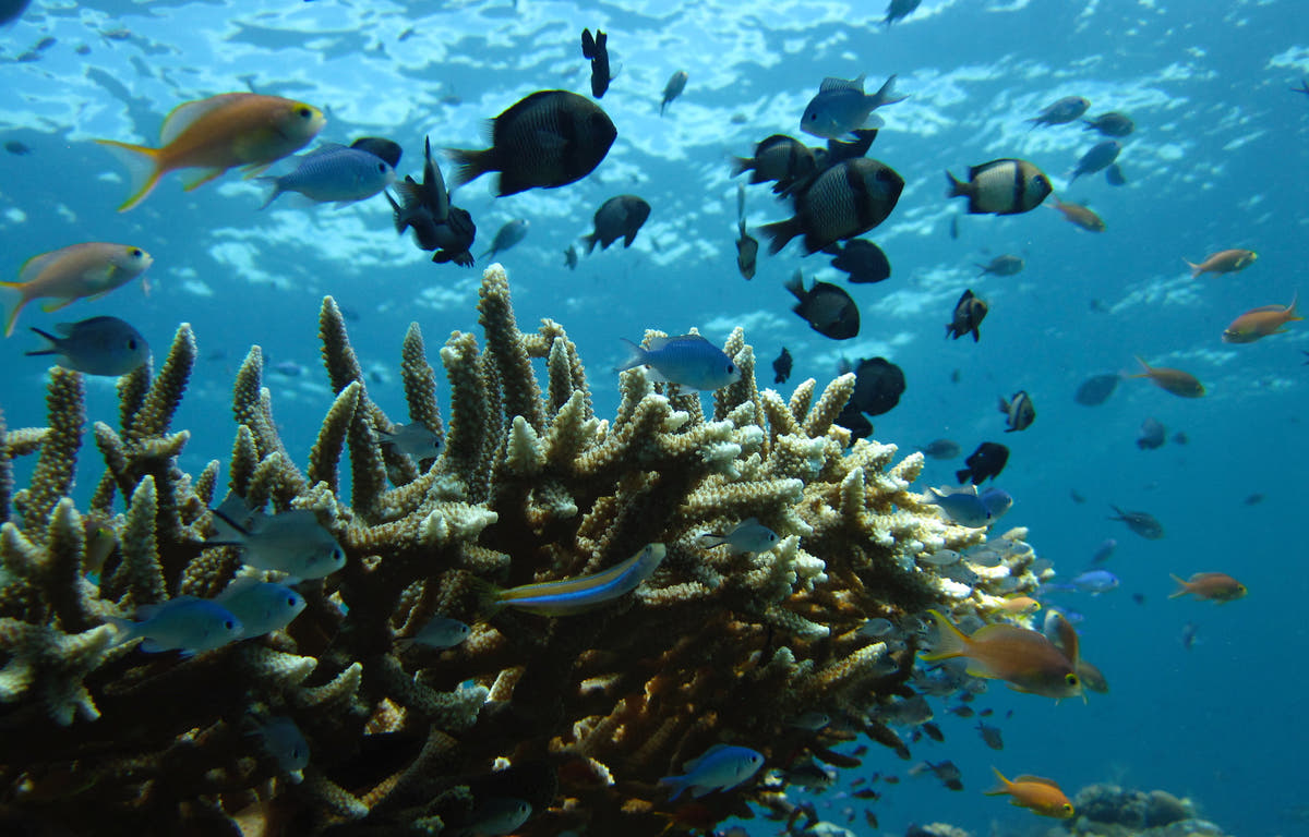
Dodola Point is the reef-diving side of a Morotai trip, using the clear water and coral around the Dodola islands rather than a wreck or shark aggregation. The profile can be kept shallow for newer divers, while intermediate groups extend along the slope according to current.
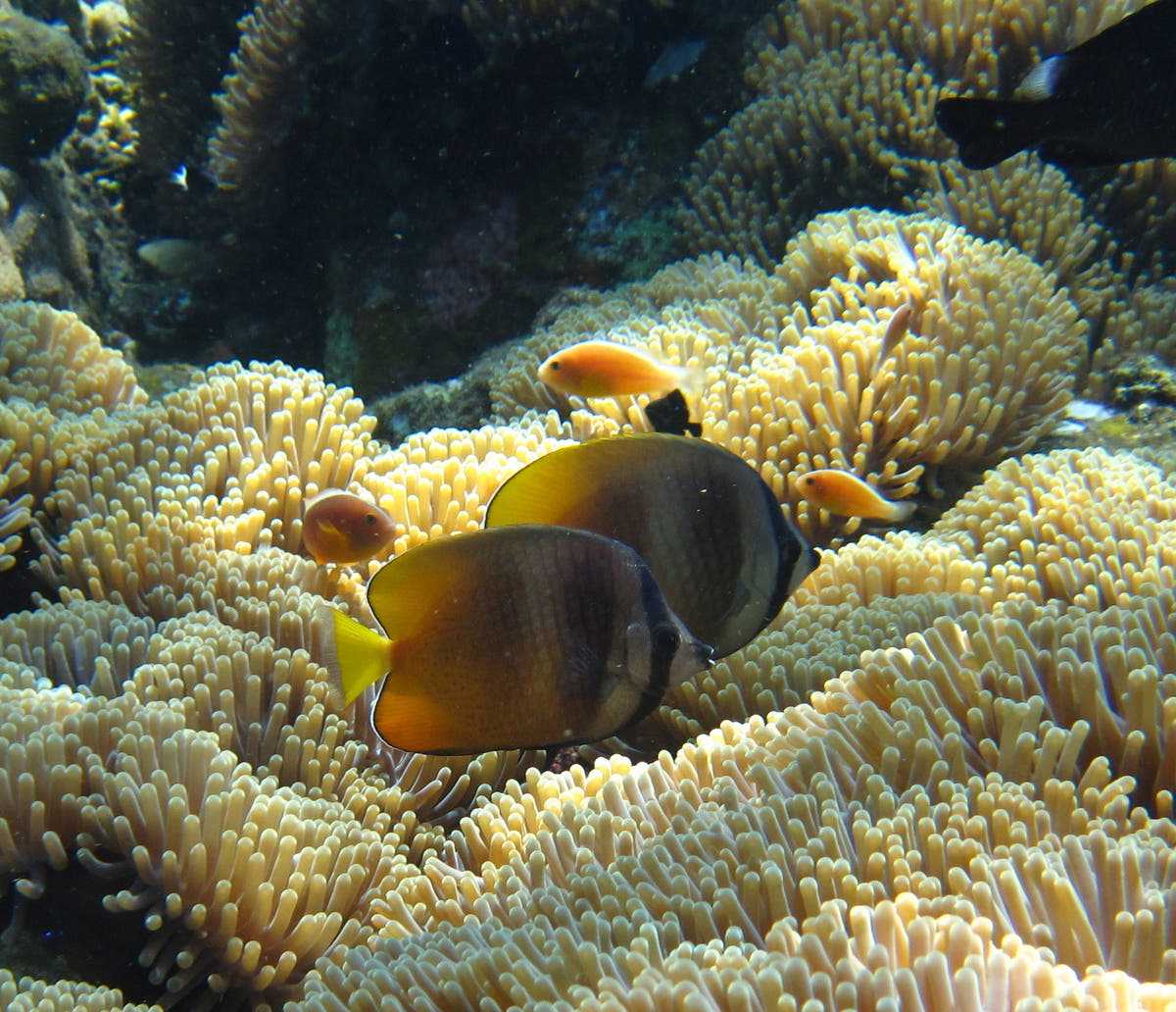
It is most useful as a relaxed counterpoint to the deeper historical sites. Reef fish and coral detail are the main attraction, and the sandy island setting gives strong natural light in the upper metres. The map marks Dodola Island itself; the daily entry is selected by the operator.
Look for: Island reef · Mixed-experience dive · Coral slope · Relaxed profile
Ideal für: Coral reef · Clear water · Mixed experience groups
Island point · Reef
Kokoya Point
Kokoya Point is one of the named southern Morotai sites used by local dive programmes.
Tauchplatz entdecken
- Typ
- Island point · Reef
- Tiefe
- 5–25 m
- Erfahrung
- Intermediate
- Strömung
- Moderate
Kokoya Point is one of the named southern Morotai sites used by local dive programmes. The island position exposes the reef to more water movement than a sheltered bay, so the guide chooses the side and direction according to tide.
Coral and schooling reef fish make it a strong wide-angle dive even when no large animal passes. The depth can remain comfortably recreational, but current management matters more than the numbers suggest. The map uses the published Kokoya Island position rather than claiming an exact mooring.
Look for: Island point · Current-fed reef · Schooling fish · Wide-angle diving
Ideal für: Reef fish · Current point · Wide angle
Fringing reef · Coral
Kolorai Reef
Kolorai Reef offers straightforward fringing-reef diving in the island group west of southern Morotai.
Tauchplatz entdecken
- Typ
- Fringing reef · Coral
- Tiefe
- 3–25 m
- Erfahrung
- Beginner–Intermediate
- Strömung
- Mild
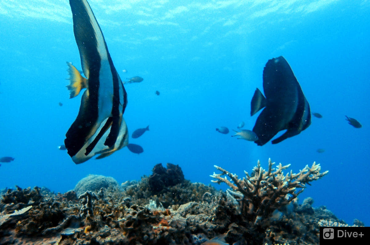
Kolorai Reef offers straightforward fringing-reef diving in the island group west of southern Morotai. It is a useful site for a check dive or a lower-intensity day because the profile begins shallow and can be adjusted easily for mixed experience levels.
The reef is best approached slowly, with time spent on coral condition, small reef fish and photographic details rather than chasing depth. Water movement can increase away from the island, so the guide keeps the route on the protected side when needed. The coordinate is an island/locality anchor, not a surveyed descent point.
Look for: Fringing reef · Beginner accessible · Shallow finish · Island photography
Ideal für: Coral reef · Easy profile · Photography
Point · Reef · Shark potential
Tosininga Point
Tosininga Point appears repeatedly in local Morotai dive itineraries and is known as a reef point where larger reef animals may mix with the normal coral fish community.
Tauchplatz entdecken
- Typ
- Point · Reef · Shark potential
- Tiefe
- 5–25 m
- Erfahrung
- Intermediate
- Strömung
- Moderate
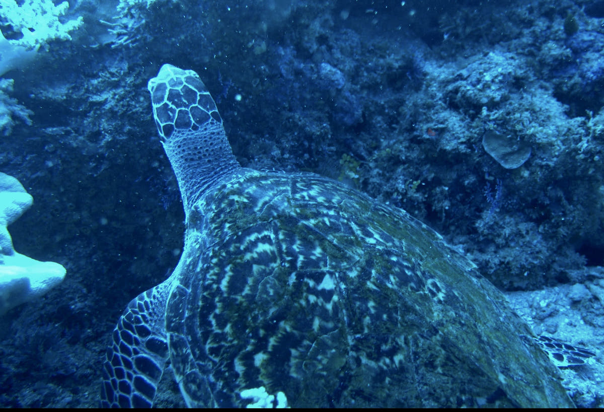
Tosininga Point appears repeatedly in local Morotai dive itineraries and is known as a reef point where larger reef animals may mix with the normal coral fish community. Reports include blacktip and whitetip reef sharks, turtles, octopus and Napoleon wrasse, though none should be treated as guaranteed sightings.
The point layout means current and entry direction can change the character of the dive from relaxed reef tour to controlled drift. A moderate depth band keeps the profile simple while the group follows the guide’s tide plan. With no dependable public site GPS, the map uses the south-Morotai dive-area reference and labels it accordingly.
Look for: Reef point · Sharks possible · Turtles & wrasse · Current-aware plan
Ideal für: Reef sharks · Turtles · Napoleon wrasse · Reef fish
Unterwasserfotografie
Am Mitita Shark Point vermitteln schwarze Riffhaie, die Beobachtung von Haien und klares Wasser einen Eindruck von den fotografischen Möglichkeiten. Wählen Sie die Kameraausrüstung für die geplanten Tauchplätze und nehmen Sie sich dann Zeit, die Szenerie zu beobachten, bevor Sie das Foto aufnehmen. Ein erfolgreicher Tauchgang wird oft wiederholt, da dies häufig bessere Motive bietet als die ständige Suche nach einem anderen Ort. Nutzen Sie bei Riffmotiven die Form des Riffs und das vorhandene Licht, um dem Bild Tiefe zu verleihen. Ein Taucher in respektvollem Abstand kann Größenverhältnisse verdeutlichen, ohne ein Tier einzuschüchtern.
Abseits des Tauchens: Die Insel Morotai über der Wasseroberfläche
Dodola und die umliegenden Inseln machen die Seefahrt zu einem Teil des Urlaubs, mit Stränden, Sandbänken und Schnorchelstopps. Ausflüge ins Landesinnere können Wasserfälle und Waldlandschaften umfassen, während lokale Dörfer und das Erbe des Zweiten Weltkriegs Morotai eine Geschichte jenseits seiner Riffe verleihen.
Das bestehende Inselprogramm umfasst die Wasserfälle Nakamura und Kokota sowie Besuche entlang der Küste. Planen Sie Zeit für die Entfernungen und das Wetter ein. Ein gut getakteter trockener Tag ist lohnender als der Versuch, jede Attraktion mit zwei oder drei Tauchgängen zu verbinden.
Anreise zur Insel Morotai
Der lokale Zugangspunkt für Morotai ist der Flughafen Pitu / Leo Wattimena (OTI). Die meisten internationalen Routen führen über einen großen indonesischen Drehkreuzflughafen und dann über Ternate (TTE), bevor sie nach Morotai weitergehen.
Die Flugpläne für Inlandsflüge nach Morotai sind begrenzt und können sich ändern. Eine Route mit dem Auto und Boot über Sofifi und Tobelo ist bei Bedarf eine Alternative. Wir planen daher die Reiserouten nach Morotai mit Zeitpuffern für Verbindungen und bestätigen jeden Inlandsflug kurz vor der Buchung und Abreise erneut.
Ihr abschließender Transfer vom Flughafen oder Hafen von Morotai wird entsprechend den Ankunftsdetails organisiert. Planen Sie nach Ihrem letzten Tauchgang vor einem Weiterflug eine angemessene Zeit ein, in der Sie nicht fliegen dürfen.
Fragen zum Tauchen auf der Insel Morotai
Was macht die Insel Morotai zu einem Tauchziel?
Morotai vereint Riff-Tauchen und die Geschichte der Kriegszeit auf einer abgelegenen Insel in Nord-Molukken. Haie, versunkene Strukturen und Korallenlandschaften prägen die Reise ebenso wie menschenleere Küstenlinien, grüne Landschaften im Landesinneren und Inselhopping-Tage.
Wie sollte ich meinen Aufenthalt planen?
Wählen Sie einen Standort, der Riff- und Wracktauchen mit Ausflügen an Land gut miteinander verbinden lässt. Sechs bis acht Nächte sind für ein abgelegenes Reiseziel ein guter Ausgangspunkt und bieten sowohl Puffer für die Anreise als auch Tage, an denen das Meer über die Reihenfolge der Aktivitäten entscheidet.
Wann ist eine gute Reisezeit?
Das Tauchen ist das ganze Jahr über möglich. Von Mai bis Oktober gilt die bisherige Planung für die ruhigere Jahreszeit, während Juli bis September geeignet ist, wenn der Zugang zu Wracks im Vordergrund steht. Abgelegene Verbindungen und exponierte Tauchplätze machen Flexibilität besonders wertvoll.
Gibt es auch für Mitreisende, die nicht tauchen, genug zu erleben?
Dodola und die umliegenden Inseln machen die Seefahrt zu einem Teil des Urlaubs, mit Stränden, Sandbänken und Schnorchelstopps. Ausflüge ins Landesinnere können Wasserfälle und Waldlandschaften umfassen, während lokale Dörfer und das Erbe des Zweiten Weltkriegs Morotai eine Geschichte jenseits seiner Riffe verleihen.
A closer look at Morotai Island
Planen Sie Ihre Reise zur Insel Morotai
Teilen Sie uns mit, welche Erlebnisse Sie sich am meisten wünschen, welche Daten Sie bevorzugen und wie Sie gerne reisen. Wir können das Reiseziel, die Unterkunft und das Tauchen in einer stimmigen Reiseroute zusammenfassen.
Meine Reise planen