

Destination guide · Indonesia
Plongée à l’île de Morotai
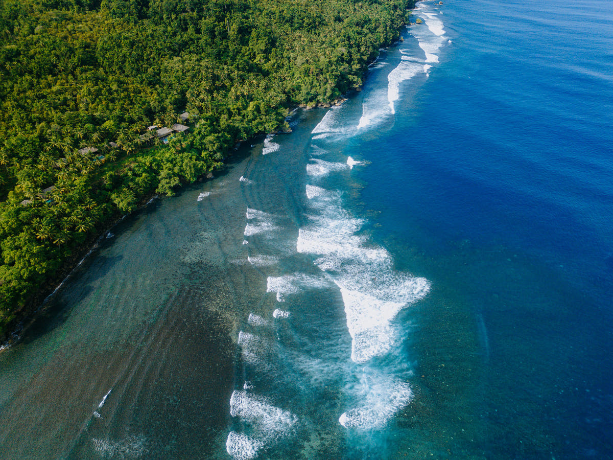
Morotai brings reef diving and wartime history together on a remote North Maluku island. Sharks, submerged structures and coral scenery share the trip with empty-looking coastlines, green inland landscapes and island-hopping days.
L'île de Morotai en un coup d'œil
Morotai associe plongée sur les récifs et histoire de la Seconde Guerre mondiale sur une île isolée des Moluques du Nord. Requins, structures immergées et paysages coralliens partagent le voyage avec des côtes désertes, des paysages intérieurs verdoyants et des journées d'île en île.
Planifier votre séjour sur l'île de Morotai
Choisissez une base qui puisse concilier l'intérêt pour les récifs et les épaves avec les excursions à terre. Six à huit nuits constituent un bon point de départ pour une destination isolée, permettant à la fois des marges de manœuvre pour les trajets et des journées où la mer décide de l'ordre des activités.

Moro Ma Doto Resort & Spa
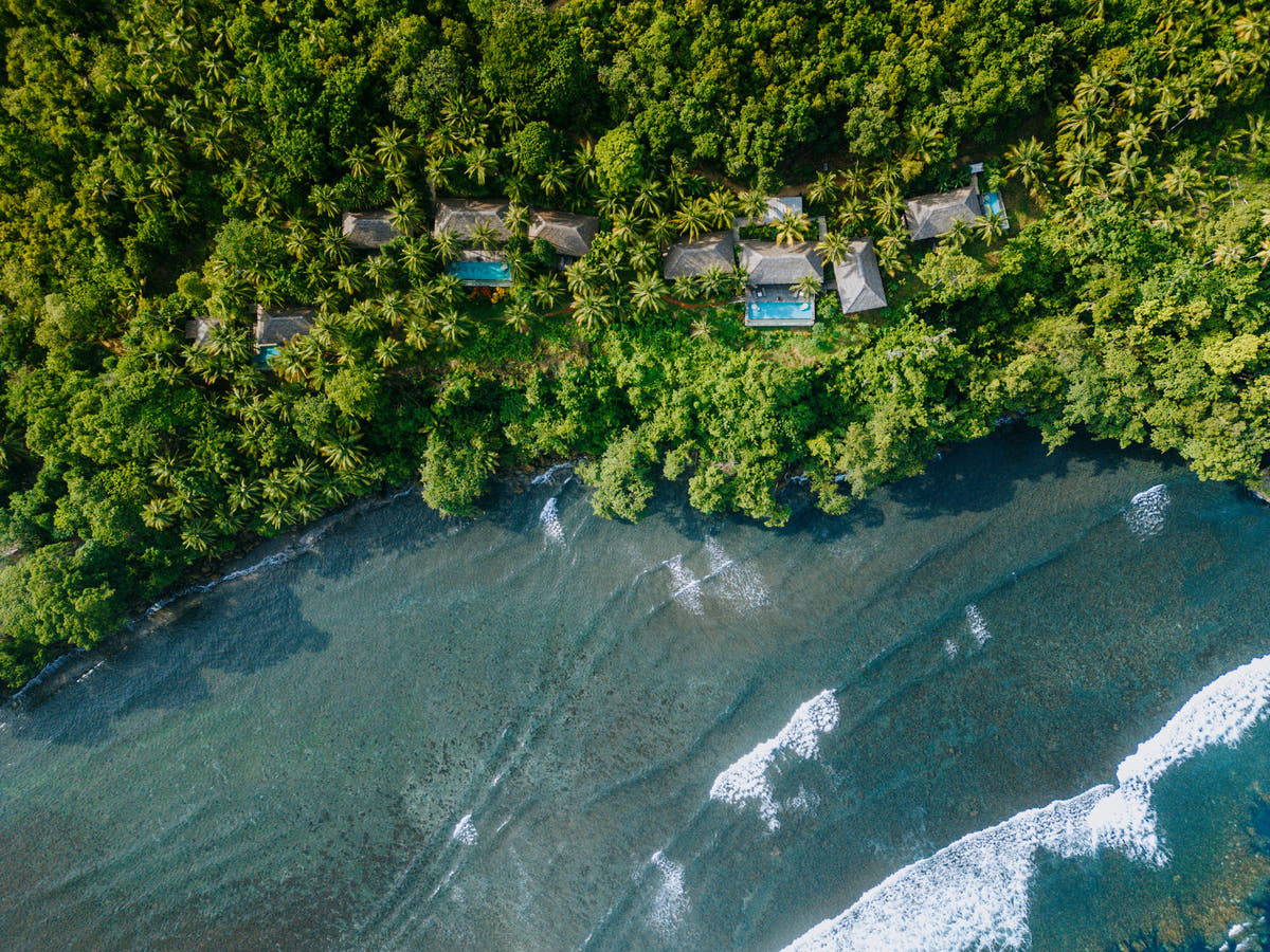
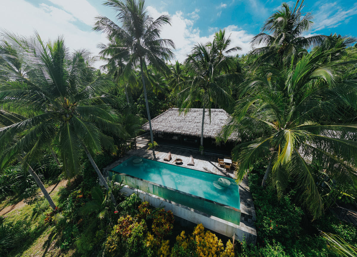
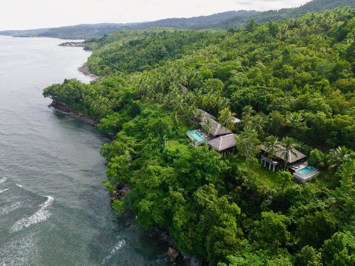
Resort insulaire boutique en pension complète sur la lointaine Morotai, associant villas et suites privées à des récifs peu fréquentés, au patrimoine sous-marin de la Seconde Guerre mondiale, au surf, à la pêche, à l'explo...
Quand plonger sur l'île de Morotai
La plongée est possible toute l'année. De mai à octobre constitue la période de planification actuelle correspondant à la saison la plus calme, tandis que de juillet à septembre est utile lorsque l'accès aux épaves est une priorité. Les connexions isolées et les sites exposés rendent la flexibilité particulièrement précieuse.
Période de planification : Souvent plus calme de mai à octobre.
À quoi ressemble la plongée
Choisissez les îles et les sites en fonction de l'expérience du groupe.
Le caractère de la plongée
Morotai associe plongée sur les récifs et histoire de la Seconde Guerre mondiale sur une île isolée des Moluques du Nord. Requins, structures immergées et paysages coralliens partagent le voyage avec des côtes désertes, des paysages intérieurs verdoyants et des journées d'île en île.
DIVE SITE GUIDE
Dive sites in Morotai Island
Explore the character of individual sites, from the setting and marine life to the diving conditions. Open a card for the full description; site access and the final profile depend on conditions and experience.
ORIENTATION MAP
Where the dive sites are
Use the map to understand how the key sites are spread around the destination. Pins are for trip-planning orientation only; entry points, moorings and the final dive plan are always confirmed by the local operator on the day.
Coordinates are orientation references, not navigation coordinates. 'verified' means a published site coordinate; 'operator' means a clearly labelled island, locality or dive-area anchor used where the exact mooring/drop is not publicly verified. Entry points, currents and the final dive plan are always confirmed by the local operator on the day.
Shark point · Sandy slope · Reef
Mitita Shark Point
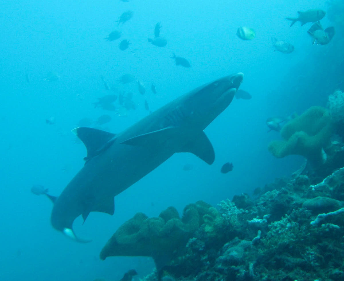
Mitita Shark Point is Morotai’s best-known shark dive, centred on a sandy reef area where blacktip reef sharks regularly move through the water column.
Découvrir ce site de plongée
- Type
- Shark point · Sandy slope · Reef
- Profondeur
- 10–22 m
- Expérience
- Intermediate
- Courant
- Moderate
Mitita Shark Point is Morotai’s best-known shark dive, centred on a sandy reef area where blacktip reef sharks regularly move through the water column. Public reports place the main viewing depth around 17–18 metres, keeping the dive well inside normal recreational limits.
The correct approach is to settle calmly, remain close to the guide and let sharks choose their distance rather than swimming after them. Current can help concentrate activity, so timing matters more than covering ground. The map point uses Metita Island as the local anchor because the exact operational drop changes with conditions.
Look for: Blacktip reef sharks · ~18 m viewing depth · Shark etiquette · Morotai signature
Idéal pour : Blacktip reef sharks · Shark observation · Clear water
WWII vehicles & aircraft · Deep heritage site
Wawama Wreck
Wawama is not one single intact ship but an underwater heritage area containing Second World War vehicles and aircraft remains.
Découvrir ce site de plongée
- Type
- WWII vehicles & aircraft · Deep heritage site
- Profondeur
- 12–50 m
- Expérience
- Advanced / Deep
- Courant
- Mild–Moderate
Wawama is not one single intact ship but an underwater heritage area containing Second World War vehicles and aircraft remains. Jeep and vehicle components can be encountered around the mid-twenties, while some aircraft material lies much deeper, into the 40–50 metre range.
That means the guide can select a profile appropriate to certification rather than treating every visit as the same dive. The historical objects should be observed in place and never moved or collected. Because the deeper material pushes beyond ordinary recreational comfort, a conservative plan around the shallower remains is often the better choice.
Look for: WWII vehicles · Aircraft remains · 25 m jeep area · Deep sections to 40–50 m
Idéal pour : WWII vehicles · Aircraft remains · Underwater heritage
Scuttled fishing vessel · Artificial reef
Susi Wreck
Susi Wreck is a confiscated fishing vessel deliberately sunk in 2019 and now used as one of Morotai’s more accessible wreck dives.
Découvrir ce site de plongée
- Type
- Scuttled fishing vessel · Artificial reef
- Profondeur
- 18–30 m
- Expérience
- Intermediate
- Courant
- Mild
Susi Wreck is a confiscated fishing vessel deliberately sunk in 2019 and now used as one of Morotai’s more accessible wreck dives. Unlike the deep WWII aircraft, it sits within normal recreational depth, with published visitor reports describing the wreck around the 20–30 metre band.
Grouper, barracuda and smaller reef fish use the structure, while open exterior lines make it possible to enjoy the wreck without penetration. The site works well as a bridge between reef diving and Morotai’s more serious historical wreck profiles. The map uses the southern Morotai dive area as an operator anchor because a reliable public wreck GPS is not available.
Look for: Scuttled in 2019 · Recreational-depth wreck · Grouper & barracuda · Exterior exploration
Idéal pour : Accessible wreck · Grouper · Barracuda · Photography
Cave entrance · Wall · Reef
Galo Galo Cave
Galo Galo Cave adds a topographic dive to a Morotai itinerary otherwise dominated by reefs, sharks and wartime history.
Découvrir ce site de plongée
- Type
- Cave entrance · Wall · Reef
- Profondeur
- 6–30 m
- Expérience
- Intermediate–Advanced
- Courant
- Mild–Moderate
Galo Galo Cave adds a topographic dive to a Morotai itinerary otherwise dominated by reefs, sharks and wartime history. Local dive programmes specifically include the site, and regional descriptions note a shallow cave feature that leads out toward deeper wall terrain.
Divers should keep the distinction between an open cavern and a true overhead environment clear: nobody needs to penetrate beyond training to enjoy the site. The outside reef remains productive and may bring larger passing animals. The map point is anchored to Galo-Galo village/island because the exact cave entrance is not published.
Look for: Cave feature · Wall outside · 6–30 m profile · Operator-guided route
Idéal pour : Cave entrance · Mobula chance · Wall diving
Island reef · Coral slope
Dodola Point
Dodola Point is the reef-diving side of a Morotai trip, using the clear water and coral around the Dodola islands rather than a wreck or shark aggregation.
Découvrir ce site de plongée
- Type
- Island reef · Coral slope
- Profondeur
- 5–25 m
- Expérience
- Beginner–Intermediate
- Courant
- Mild–Moderate
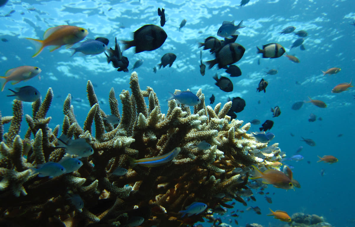
Dodola Point is the reef-diving side of a Morotai trip, using the clear water and coral around the Dodola islands rather than a wreck or shark aggregation. The profile can be kept shallow for newer divers, while intermediate groups extend along the slope according to current.
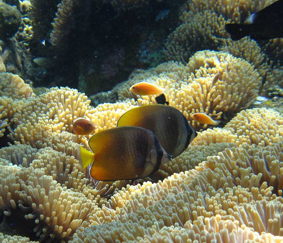
It is most useful as a relaxed counterpoint to the deeper historical sites. Reef fish and coral detail are the main attraction, and the sandy island setting gives strong natural light in the upper metres. The map marks Dodola Island itself; the daily entry is selected by the operator.
Look for: Island reef · Mixed-experience dive · Coral slope · Relaxed profile
Idéal pour : Coral reef · Clear water · Mixed experience groups
Island point · Reef
Kokoya Point
Kokoya Point is one of the named southern Morotai sites used by local dive programmes.
Découvrir ce site de plongée
- Type
- Island point · Reef
- Profondeur
- 5–25 m
- Expérience
- Intermediate
- Courant
- Moderate
Kokoya Point is one of the named southern Morotai sites used by local dive programmes. The island position exposes the reef to more water movement than a sheltered bay, so the guide chooses the side and direction according to tide.
Coral and schooling reef fish make it a strong wide-angle dive even when no large animal passes. The depth can remain comfortably recreational, but current management matters more than the numbers suggest. The map uses the published Kokoya Island position rather than claiming an exact mooring.
Look for: Island point · Current-fed reef · Schooling fish · Wide-angle diving
Idéal pour : Reef fish · Current point · Wide angle
Fringing reef · Coral
Kolorai Reef
Kolorai Reef offers straightforward fringing-reef diving in the island group west of southern Morotai.
Découvrir ce site de plongée
- Type
- Fringing reef · Coral
- Profondeur
- 3–25 m
- Expérience
- Beginner–Intermediate
- Courant
- Mild
Kolorai Reef offers straightforward fringing-reef diving in the island group west of southern Morotai. It is a useful site for a check dive or a lower-intensity day because the profile begins shallow and can be adjusted easily for mixed experience levels.
The reef is best approached slowly, with time spent on coral condition, small reef fish and photographic details rather than chasing depth. Water movement can increase away from the island, so the guide keeps the route on the protected side when needed. The coordinate is an island/locality anchor, not a surveyed descent point.
Look for: Fringing reef · Beginner accessible · Shallow finish · Island photography
Idéal pour : Coral reef · Easy profile · Photography
Point · Reef · Shark potential
Tosininga Point
Tosininga Point appears repeatedly in local Morotai dive itineraries and is known as a reef point where larger reef animals may mix with the normal coral fish community.
Découvrir ce site de plongée
- Type
- Point · Reef · Shark potential
- Profondeur
- 5–25 m
- Expérience
- Intermediate
- Courant
- Moderate
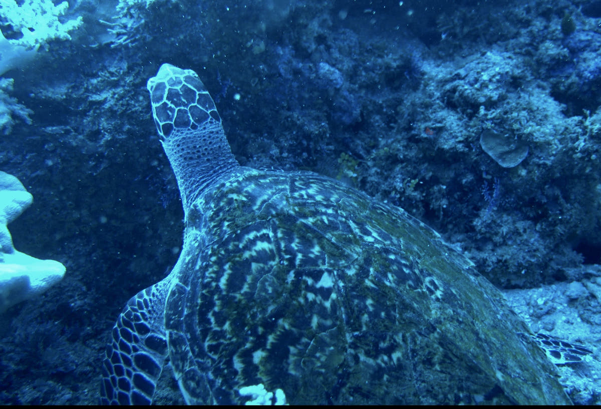
Tosininga Point appears repeatedly in local Morotai dive itineraries and is known as a reef point where larger reef animals may mix with the normal coral fish community. Reports include blacktip and whitetip reef sharks, turtles, octopus and Napoleon wrasse, though none should be treated as guaranteed sightings.
The point layout means current and entry direction can change the character of the dive from relaxed reef tour to controlled drift. A moderate depth band keeps the profile simple while the group follows the guide’s tide plan. With no dependable public site GPS, the map uses the south-Morotai dive-area reference and labels it accordingly.
Look for: Reef point · Sharks possible · Turtles & wrasse · Current-aware plan
Idéal pour : Reef sharks · Turtles · Napoleon wrasse · Reef fish
Photographie sous-marine
À Mitita Shark Point, les requins de récif à pointe noire, l'observation des requins et l'eau claire donnent une idée des possibilités photographiques. Choisissez le matériel photo en fonction des sites prévus, puis prenez le temps d'observer la scène avant de prendre la photo. Recommencer une plongée fructueuse offre souvent de meilleures opportunités que de chercher constamment un autre site. Pour les scènes de récif, utilisez la forme du récif et la lumière disponible pour donner de la profondeur à l'image. Un plongeur à une distance respectueuse peut donner une idée de l'échelle sans envahir l'espace de l'animal.
Au-delà de la plongée : l'île de Morotai au-dessus de la surface
Dodola et les îles environnantes font de la traversée en mer une partie des vacances, avec des plages, des bancs de sable et des arrêts pour le snorkeling. Les sorties à terre peuvent inclure des cascades et des paysages forestiers, tandis que les villages locaux et le patrimoine de la Seconde Guerre mondiale donnent à Morotai une histoire au-delà de ses récifs.
Le programme actuel de l'île comprend les cascades de Nakamura et de Kokota ainsi que des visites autour de la côte. Prévoyez des marges pour les distances et la météo. Une journée sèche bien rythmée est plus gratifiante que d'essayer de combiner toutes les attractions avec deux ou trois plongées.
Comment se rendre sur l'île de Morotai
La porte d'entrée locale de Morotai est l'aéroport Pitu / Leo Wattimena (OTI). La plupart des itinéraires internationaux passent par un grand centre de correspondance indonésien, puis par Ternate (TTE) avant de continuer vers Morotai.
Les horaires de vols intérieurs vers Morotai sont limités et peuvent changer. Un itinéraire par la route et par bateau via Sofifi et Tobelo est une alternative si nécessaire. Nous organisons donc les itinéraires vers Morotai avec des marges de connexion et reconfirmons chaque vol intérieur peu avant la réservation et le voyage.
Votre transfert final depuis l'aéroport ou le port de Morotai est organisé en fonction des détails de votre arrivée. Prévoyez un temps d'attente approprié après votre dernière plongée avant tout vol ultérieur.
Questions sur la plongée sur l'île de Morotai
Qu'est-ce qui rend l'île de Morotai digne d'un voyage de plongée ?
Morotai associe plongée sur les récifs et histoire de la Seconde Guerre mondiale sur une île isolée des Moluques du Nord. Requins, structures immergées et paysages coralliens partagent le voyage avec des côtes désertes, des paysages intérieurs verdoyants et des journées d'île en île.
Comment dois-je planifier mon séjour ?
Choisissez une base qui puisse concilier l'intérêt pour les récifs et les épaves avec les excursions à terre. Six à huit nuits constituent un bon point de départ pour une destination isolée, permettant à la fois des marges de manœuvre pour les trajets et des journées où la mer décide de l'ordre des activités.
Quelle est la meilleure période pour s'y rendre ?
La plongée est possible toute l'année. De mai à octobre constitue la période de planification actuelle correspondant à la saison la plus calme, tandis que de juillet à septembre est utile lorsque l'accès aux épaves est une priorité. Les connexions isolées et les sites exposés rendent la flexibilité particulièrement précieuse.
Y a-t-il suffisamment d'activités pour les compagnons qui ne plongent pas ?
Dodola et les îles environnantes font de la traversée en mer une partie des vacances, avec des plages, des bancs de sable et des arrêts pour le snorkeling. Les sorties à terre peuvent inclure des cascades et des paysages forestiers, tandis que les villages locaux et le patrimoine de la Seconde Guerre mondiale donnent à Morotai une histoire au-delà de ses récifs.
A closer look at Morotai Island
Planifiez votre voyage sur l'île de Morotai
Dites-nous quelles expériences vous souhaitez le plus, vos dates préférées et comment vous aimez voyager. Nous pouvons regrouper la destination, l'hébergement et la plongée dans un seul itinéraire cohérent.
Planifier mon voyage